From the Redstone archives
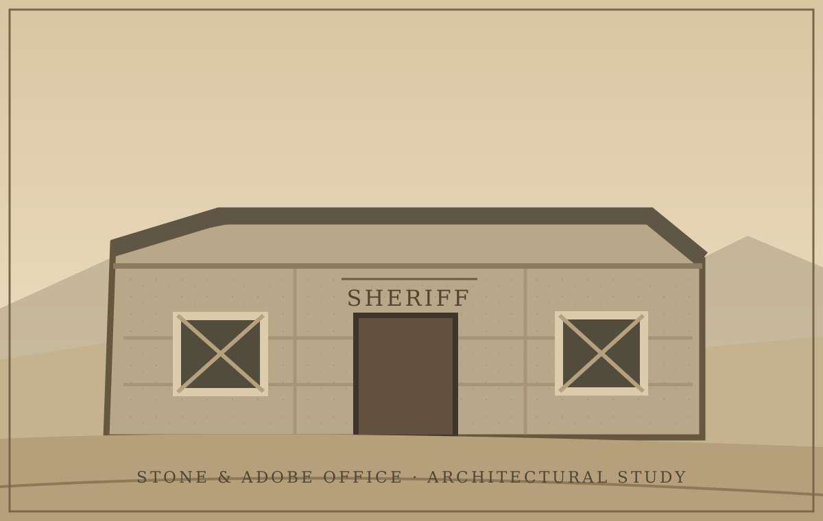
Sheriff’s Office and Jail
The sheriff’s office and adjoining jail serve Redstone Crossing. The office is stone and adobe.
Read this location's history ↗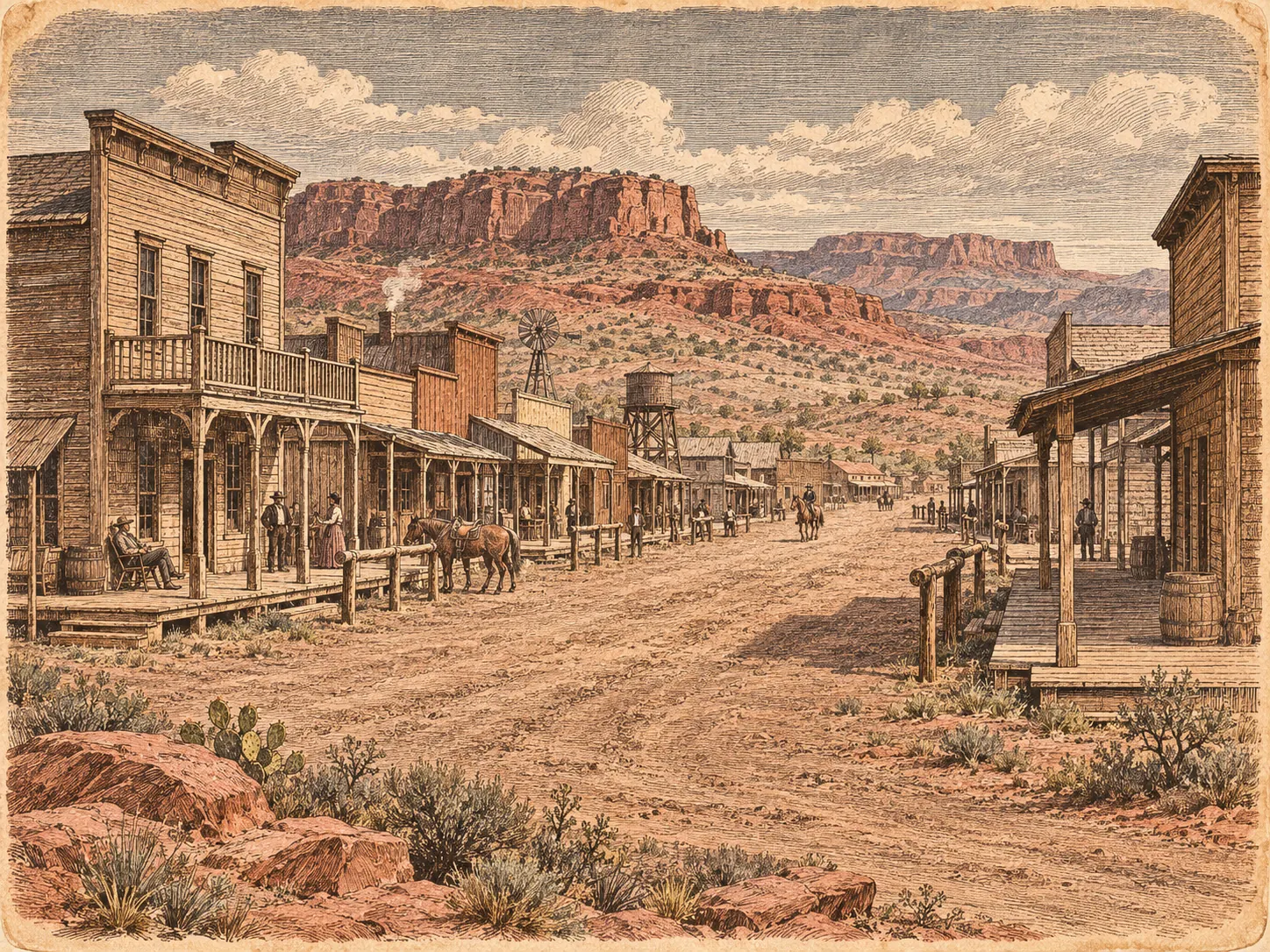
The illustrated atlas / Arizona Territory · 1882
Beyond the novel's pages is a place with businesses, neighbors, histories, and roads leading into the unknown.
Plate No. 01 / Redstone Crossing
The illustrated town plan is displayed as an archival plate, with room to examine the details rather than text obscuring the map.
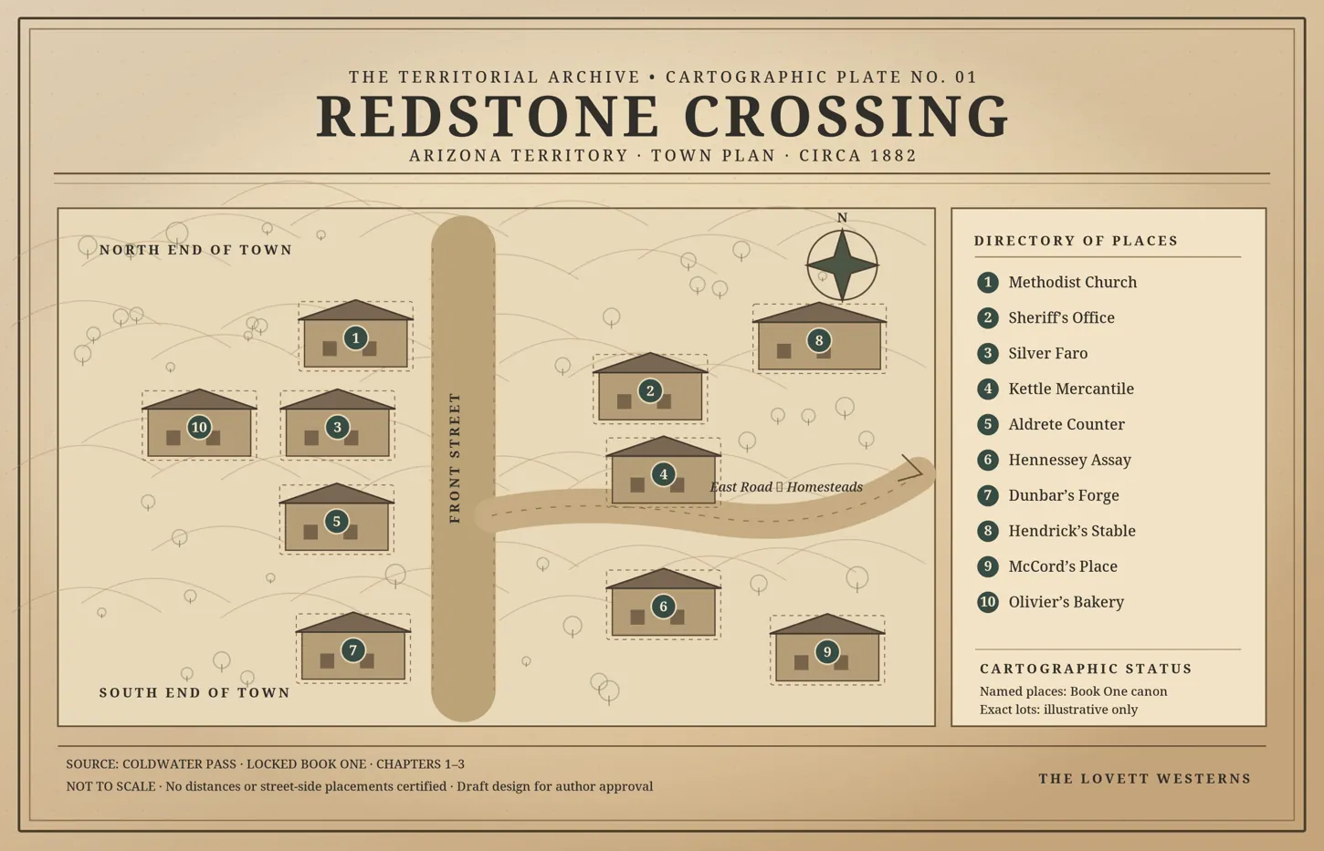
Explore Front Street below to see the individual establishments. Precise map pins will be added only after their positions have been confirmed against the author’s canon map.
Full location index ↗Front Street / The establishments
Select a location to examine its illustration and brief history, then open its dedicated entry.
The sheriff’s office and adjoining jail serve Redstone Crossing. The office is stone and adobe.
Read this location's history ↗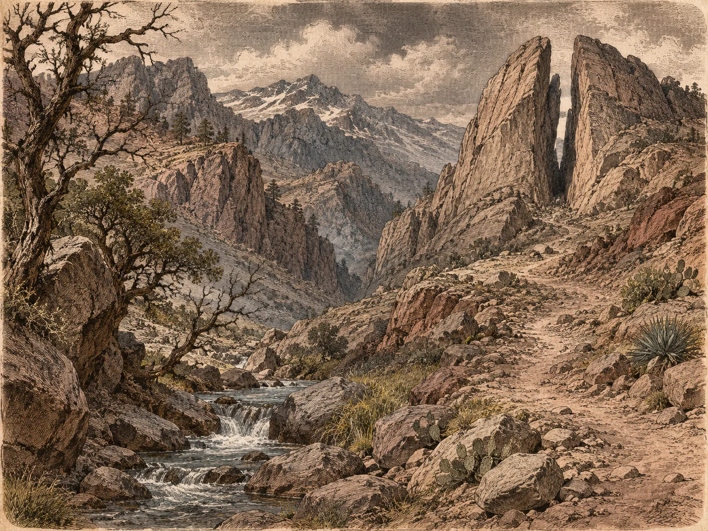
Beyond the town
Coldwater Pass lies north of Redstone Crossing. The first novel takes its name from the mountain road and the history surrounding it.
Explore Coldwater Pass ↗